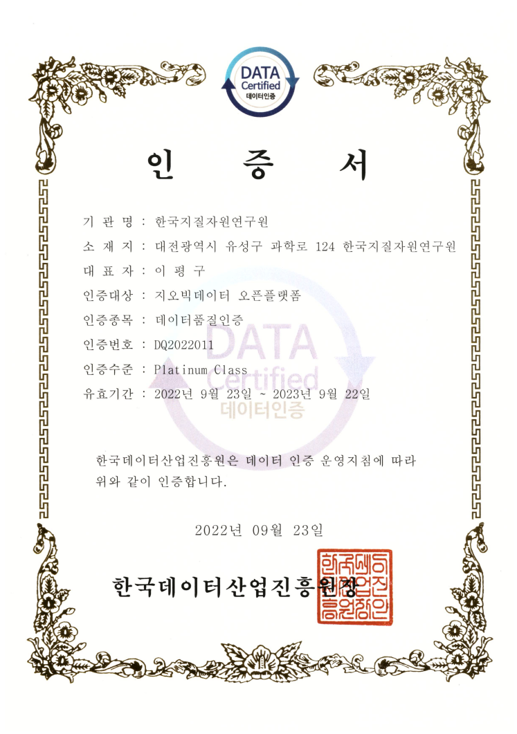
Data Quality Certification (DQC-V)

| Data type | KIGAM 보고서 |
|---|---|
| Title | 지구물리이상도작성 연구 (1:25만 대전도폭 중서부) |
| Author | 구성본 |
| Language | KOR |
| Call Number | KR-2002-C-03-2002-R |
| Publication Information | 한국지질자원연구원 : 산업자원부, 2002 |
| Abstract | : ● 연구개발의 목적 및 필요성: ① 지구물리분야의 국토기본도인 전국토의 항공자력/방사능 및 중력이상도작성, ② 자료은행 구축으로 탐사자료의 체계적, 조직적 관리운용, ③ 한반도 심부 지질구조 규명, 자원탐사, 지진등 지질구조 규제와 관련된 유관분야에 기초 자료 제공, ④ 타 탐사자료와 자료 복합해석을 통한 자료해석의 신뢰도 증진, ⑤국가간 자료종합을 통한 범세계적 자료종합 및 활용. ● 연구개발의 내용 및 범위: 전국토의 지구물리이상도 작성을 위하여 2002년도에는 1:25만 대전도폭 중서부지역에서 항공물리탐사와 중력탐사를 실시하였다. ① 항공자력 및 방사능탐사: 1/5만 3개지역(아산, 평택, 예산). 속도 50knot/hr, 1 data/1sec, 측선간격 2 km, 고도 500ft. agl, ② 중력탐사: 1/5만 8개지역(만리포, 서산, 당진, 근흥, 신온, 홍성, 서천, 대천) 도로망을 따라 1 data/4km, GPS 활용, ③ 자료전산처리: 편집, 보정 및 기존자료 표준화, (4)이상도작성 : 잔여자력이상도, 방사능이상도, 부우게 중력이상도. ● 연구개발 결과: ① 1:5만 아산, 예산, 평택지역의 항공자력 및 방사능 이상도작성, ② 1:5만 만리포, 서산, 당진, 근흥, 신온, 홍성, 서천, 대천지역 중력이상도작성, ③ 전국토 117개지역(1:5만)의 항공자력탐사 자료 획득 및 이상도작성 완료, ④ 전국토의 100개지역(1/5만) 중력탐사 자료획득 및 이상도 작성 완료, ⑤ 자료은행 구축을 위한 자료표준화 완료, ⑥ 1/25만 안동, 부산지역 자력이상도 발간, ⑦1/25만 대전, 안동, 강릉, 속초지역 부우게 중력이상도 발간. ● 활용계획: 본 연구는 전국토에 대한 지구물리자료를 획득하여 국토기본도로서의 지구물리이상도를 작성하고 지구과학 관련분야에 기초자료를 제공코져한다. 본 연구에 의한 결과는 도면으로 발간될 것이며 database로 구축될 것이다. ①선진독점인 항공물리탐사 및 중력탐사 기술자립화, ②한반도 지체 및 심부 지질구조 규명, ③자원탐사, 지진등 지질구조 규제와 관련된 유관분야에 기초자료제공, ④자료 공유를 위한 공공활용시스템구축, ⑤국가간 자료 교환 종합을 통한 국제공동연구 및 범세계적 Network 구축에 동참 : KIGAM has conducted airborne magnetic and gamma-ray survey in the Asan, Pyoungtaek and Yesan areas and gravity survey in the Manripo, Seasan, Dangjin, Gunhung, Sinon, Hongsung, Seocheon and Daecheon areas at a scale of 1:50,000 in 2002. G-822A cesium magnetometer and GR-820 256-channel gamma ray spectrometer were used to acquire magnetic and gamma ray data. GR-820 spectrometer manufactured by Explranium LTD in canada was newly introduced for replacement of GR-800 model in 2002. The spaces of flight lines was 2km in east-west and 8km in south-north direction. A mean terrain clearence of 150m was kept during flying. The instrument for gravity measurement was Lacoste & Romberg gravimeter(model G200L, sensitivity 0.01 mGal) and a couple of GPS systems(model T4000SSE, Trimble Co.) was used for the purpose of positioning of the measurement points. The airborne datasets were corrected and processed with KADIPS program developed by KIGAM, and Canada. The data was gridded using random gridding algorithm with Gipsi form PG&W. IGRF-removed and pole reduced residual magnetic anomaly map were produced from magnetic data. Total, potassium, uranium, thorium count map and ternary radioelements map were produced from spectrometric data. The qualitative interpretation was done by correlating magnetic and spectrometric responses with geology. Lithofacies and structures in the area are well recognized on the magnetic and radiometric anomaly maps. All magnetic datasets of 117 map sheets at a scale of 1:50,000 were reprocessed and standardized. Residual and shaded magnetic anomaly map of Korea were produced from the datasets. A Bouguer gravity anomaly map on the survey area was made using the Geosoft software (Geosoft Co.). For the purpose of calculating the Bouguer anomaly, GRS80 (Geodetic Reference System 1980) was used as standard. As results of processing and editing of the gravity data (1999-2001), the characteristics of Bouguer anomalies are mainly due to the difference of rock densities and geological tructures distributing in shallow parts of the concerned regions. The (+) Bouguer graivty anomalies is related to diorites and basalts of Cenozoic era and the (-) Bouguer gravity anomalies is correlated with the intrusive granites of the Jurassic Period. The lineaments of the Bouguer gravity anomalies are mainly in NW-SE increasing in magnitude. The reason of increase from in-land area to the coastal area is considered to be from the fact that the thickness of the crust is thinning from the in-land area to the coastal area. Average depths of densities discontinuity, obtained by the powr spectrum analysis, are 14 km and 1.9 km respectively |
| Page | 64 p. |
| Keyword | 지구물리이상도, 대전, 이상도작성, 항공자력탐사, 항공방사능탐사, 중력탐사, 만리포, 서산, 당진, 근흥, 신온, 홍성, 서천, 대천, 아산, 평택, 예산, 안동, 부산, 강릉, 속초, 부우게중력이상도, 자력이상도 |
| Source |
http://library.kigam.re.kr/report/2002/지구물리이상도작성연구(1-25만대전도폭중서부).pdf |
Comments