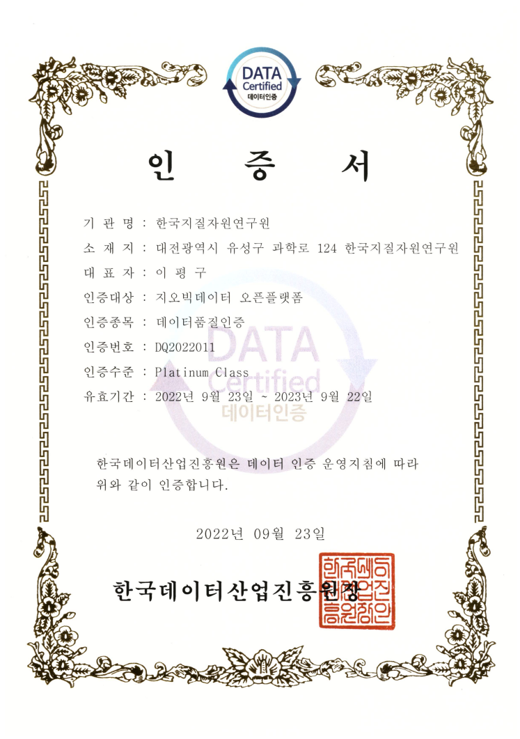
Data Quality Certification (DQC-V)

| Data type | KIGAM 보고서 |
|---|---|
| Title | 한반도 지각변형 연구 [II] |
| Author | 황재하 |
| Language | KOR |
| Call Number | KR-99-B-01.1-1999-R |
| Publication Information | 한국자원연구소, 1999 |
| Abstract | 한반도를 국토로 하는 우리 나라의 지각변형 기구를 이해한다거나, 지질시스템을 규명하고 광역지질도를 작성하는 것은 바로 우리 국토의 보존과 이용, 또 국민 생활의 안녕과 질적 향상에 크게 기여하게 될 것이다. 본 연구 보고서는 서울-남천점 및 강릉-속초의 1:250,000 도폭조사 연구와 한반도의 지각변형에 관한 종합적 연구 및 홍도 일원의 퇴적암층에 관한 퇴적분지연구로 구성되어 있다. 본 연구에서는 그동안 미발간 지역으로 남아있던 1:250,000 축척의 서울-남천점 도폭과 강릉-속초 도폭을 완성하였으며, 분포 지역의 지형특성, 암석 분포와 지질 층서 대비 및 구분, 습곡 및 단층들의 지질 구조 연구가 이루어졌다. 이 연구 결과는 한반도의 지체구조 발달 특성을 규명하는데 긴요한 기초자료를 제공하게 될 것이다. 서울-남천점 도폭의 지질은 선캠브리아의 변성암과 쥬라기의 화성암이 주를 이루며 소규모의 쥬라기, 백악기의 퇴적암, 화산암 및 제4기 현무암으로 구성되어 있다. 선캠브리아의 암석은 서산층군, 경기변성암복합체, 춘천누층군 및 연천층군이다. 서울-남천점 도폭 지역에는 북동-남북 방향의 습곡 및 단층이 발달하고 있으며 북서부에는 중한지괴와 양쯔지괴 충돌대의 연장부로 여기지는 임진강습곡대가 이들과 마주친다. 강릉-속초도폭 지역은 선캠브리아시대의 영남육괴, 캠브로-오도비스기의 조선누층군, 석탄기-전기 트라이아스기의 평안누층군, 후기트라이아스기의 대동층군, 쥬라기 대보화강암, 백악기의 퇴적암류와 화강암류, 제3기 암석으로 구성되어 있다. 또한 동아시아에 분포하는 지괴들에 대한 다양한 기존의 연구들을 종합하여, 동아시아와 한반도의 조구조 진화를 논하였으며, 한반도의 지체구조구를 재편하였다. 본 연구에서는 한반도의 선캠브리아 지각에 대한 Nd 동위원소를 이용한 지화학 연구, 안동단층계에 대한 지층끌림 분석과 절대연령을 이용한 지구조 연구, 고생대-중생대 심성암류의 연대측정자료의 지구조 해석, 한반도에 관한 지구물리적 특성을 규명하기 위한 중력 및 항공자력탐사, 고지자기 연구 결과를 보고하였으며, 한반도의 지형특성을 분석하여, 지질, 지구조 및 기후변화의 요인에 관한 영향을 규명하는 등 한반도 지각변형에 관한 종합적인 연구 결과가 기술되었다. 본 연구에서는 남한의 선캠브리아기 퇴적암체에 대한 종합 규명과 지질계통 재정립에 필요한 중요 자료를 마련하기 위하여, 원생대층이 분포된 것으로 표시된 전남 신안군의 홍도에 분포하는 퇴적암층의 야외조사와 실내연구를 병행하여 퇴적시스템을 밝히는데 주력하였으며, 조사지역이 포함된 해역과 육지부를 연결하는 광역적인 지체구조구 고찰 등이 이루어졌다 The understanding of the mechanism for such crustal deformation, the clarifying the Earth system, and publishing the geologic maps directly contribute to our safety on natural disaster and life-style development. This report is consisting predominantly of the 1/250,000 scale geologic survey maps on Seoul-Namcheon and Gangreung-Sogcho, the synthetic geologic studies on the crustal deformation of the Korean Peninsula, and the sedimentary basin study on Hongdo area. In the geologic maps of the Seoul-Namcheonjeom and Gangreung-Sogcho sheet (1:250,000 scale), geomorphologic characteristic analysis, geologic distribution, stratigraphic correlation and classification, and structural studies are presented. Geology of the Seoul-Namcheonjeom sheet is composed mainly of Precambrian metamorphic rocks and Jurassic plutonic rocks, together with minor Jurassic and Cretaceous sedimentary and volcanic rocks and Quaternary basalt. Precambrian rocks include the Seosan Group, Kyeonggi Metamorphic Complex, Chuncheon Supergroup and Yeoncheon Group. Geology of the Gangneung-Sokcho sheet largely consists of Precambrian metamorphic rocks, Cambro-ordovician Choseon Supergroup, Carboniferous-Early Triassic Pyeongan Supergroup, Late Triassic Daedong Group, Jrassic Daebo granites, Cretaceous sedimentary rocks and granites and Tertiary rocks. Based on the previous various studies for the geology, the geodynamic evolution of the East Asia is carried out, and a tectonic division is classified in the Korean Peninsula. The synthetic stdies performed in the fields of Nd isotopic geochemistry, structure analysis, isotopic ages, gravity/aeromagnetic surveies, paleomagnetism, geomorphology analysis for the clarify the crustal deformation in the Korean Peninsula. The another studied section occurs in the Proterozoic sedimentary Basin in the vicinity of Hongdo, southwestern Korean Peninsula. The sedimentary rock/structure, stratigraphic and basin analyses are carried out in order to obtain basin synthetic data for Precambrian sedimentary rocks including recognized regional tectonic consideration |
| Page | 235 p. |
| Keyword | 서울, 남천점, 도폭, 지각변형, 퇴적시스템, 동아시아, 연대측정, 동위원소, 지구조, 제4기, 지층, 강릉, 속초, 육괴 |
| Source |
Comments