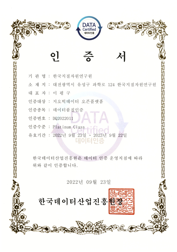
데이터 품질 인증서

| 자료유형 | KIGAM 보고서 |
|---|---|
| 제목 | 정밀 해저지형 탐사기술 자립화 연구 (2) |
| 저자 | 유동근 |
| 언어 | KOR |
| 청구기호 | KR-98-[B]-15-1998-R |
| 발행사항 | 科學技術處, 1998 |
| 초록 | 정밀 해저지형 자료 취득 및 처리 기술을 개발하기 위하여 1998년 10월 마라도 해역에 대한 탐사를 실시하였다. 선위 측정은 전지구 측위 시스템을 이용하였으며 해저지형 자료취득을 위하여 천해용 멀티빔 음향 측심기인 EM950을 이용하였다. 자료 취득 시 일반적으로 야기되는 자료왜곡 요인을 최소화하기 위하여 rolling과 pithing 및 해수 속도에 대한 보정을 한 후 자료를 취득하였고, 취득된 자료들은 단계별로 처리하여 가능한 한 모든 자료왜곡 요인을 제거한 후 최적의 자료를 만들고자 하였다. 자료처리 과정은 선위측정 보정, 위치 보정, 수심 보정, 단일빔 보정, 격자 보정 등 5가지로 나뉘어진다. 선위측정 보정을 위하여 Trinav GPS와 Trinav Estimator를 이용하여 선위 자료의 오차를 약 30m로 줄여 표준 특위 서비스만을 이용한 경우보다 약 3배 이상의 정확도를 얻었다. 그러나, 선위 측정으로부터 최상의 위치 자료가 수신되더라도 position jump나 vessel turning points처럼 부정확하거나 불필요한 위치 자료는 제거해 주어야 한다. 이러한 목적을 위하여 위치 보정을 실시하였다. 탐사 직전에 실시한 여러 가지의 보정이 불완전하거나 잘못된 경우 수행하는 수심 보정은 탐사가 완료된 후에 이들에 대한 재보정을 하기 위하여 실시하였으며 단일빔 보정은 각각의 빔에 국부적으로 나타나는 왜곡 현상을 보정 하기 위하여 적용하였다. 단일빔 보정이 완료되면 한 측선에서 나타날 수 있는 모든 자료 왜곡 현상은 제거되었다고 할 수 있으나 측선과 측선 사이의 자료 중첩 부분에 대해서는 자료 취득 당시의 조사 선박의 속도나 해황 등 서로 다른 조건 때문에 완벽하게 일치된 수심 값을 기대할 수 없다. 따라서 통계적인 방법을 통한 격자 보정을 실시하여 문제점을 최소화하였다. 상기와 같은 과정을 통하여 평균 RMS 오차를 50m에서 5m로 최소화하였다. 모든 보정이 완료된 후 작성한 해저지형도는 보정을 전혀 하지 않은 도면과 현격한 차이가 있음을 알 수 있다. 또한 초심자도 손쉽게 멀티빔 음향 측심기를 운용토록 하기 위하여 EM950에 대한 운용지침서를 작성하였다. Marine survey was conducted around the Marado in October, 1998 for the purpose of the technical development of the detailed seafloor data acquisition and processing. Global Positioning System(GPS) was implemented for the vessel positioning and EM950 Multibeam Echo Sounder was used for acquiring the data. Rolling, pitching and sound velocity corrections were performed before acquiring the data to minimize the artifacts generally occurred during the survey. Collected data were also processed systematically to remove all remaining artifacts and tried to make the most suitable data set. Data processing steps are categorized into five area; i.e., vessel position correction, navigation correction, depth correction, single beam correction, and bin correction. Trinav GPS system and estimator were used for vessel position correction and RMS errors were reduced to about 30m, which is about 3 times less than those of data acquired the Standard Positioning Service only. Although the high quality of the positioning data were received, however, unnecessary data like position jump and/or vessel turning points should be removed. Navigation correction was performed for this purpose. Depth correction, used when various corrections made before the survey are incomplete or wrong, was performed to process these errors after acquiring the data. In addition, single beam correction was implemented to remove the local artifacts shown on each beam. If all corrections mentioned above are completed, it suggests that all errors occurred on each beam be removed. However, it cannot be expected that the overlapping data between survey lines are exactly matched because of different ship speed and sea conditions during the survey. Accordingly, bin correction based on the statistical method was performed to minimize these errors. The average RMS errors after completing all corrections are reduced from 50m to 5m. It is shown that there is a big difference between the detailed seafloor map drawn after completing all corrections and the map without making any corrections. In Addition, EM950 Multibeam Echo Sounder operating manual was made for the beginner |
| 페이지 | 217-272 p. |
| 키워드 | 해저지형, 해저, 지형, 탐사기술, 해저지형탐사기술, 자료취득, 자료처리, 마라도 |
| 원문 |
댓글