경주 오도리 부채꼴 주상절리의 독특한 용암 지형
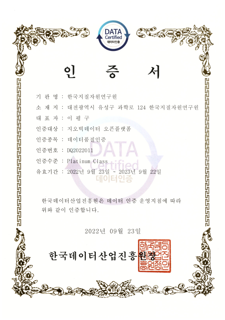
Data Quality Certification (DQC-V)

| Data type | KIGAM 보고서 |
|---|---|
| Title | 지하수 오염방지 및 음용화 기술 연구 (부산지역) |
| Author | 성익환 |
| Language | KOR |
| Call Number | KR-98-[B]-07-1998-R |
| Publication Information | 科學技術處, 1998 |
| Abstract | 본 보고서의 연구내용은 지하수 자료의 수집 및 분석, 지하수공의 위치파악과 수질, 수위측정, 지하수 오염실태조사 및 비소 함량원인 조사, 해수침입 여부와 해수-담수의 관계 파악을 위한 자동수위기록기의 설치, 14개 구 중에서 동래구, 금정구에 대한 정밀 지하수 조사, 폐공의 관측정 및 음용 가능한 지하수공으로의 전환 등이다. 부산시는 수문지질학적인 관점으로는 심성암류, 화산암류, 퇴적암, 충적층으로 구분할 수 있다. 수계분포는 낙동강이 북에서 남으로 흐르며 주 하천인 수영강도 같은 방향인데 이는 양산단층과 동래단층에 기인한 것으로 보인다. 지하수법에 의거하여 신고된 부산지역 지하수공은 1996년 현재 7,909개 공이다. 그러나 지하수 자료의 데이터베이스에 있어서 가장 중요한 항목인 지하수위, 좌표, 사용량 등의 자료는 전무한 형편이나 현재 BADGE로 데이터베이스 된 지하수공의 수는 약 3,000개에 이르고 있다. 지하수위의 측정은 233개 공에서 이루어졌으며, 평균 지하수심은 14.6m이다. 이 지하수심은 대구, 서울지역보다 약 2배가 더 깊은 것으로 부산지역의 지하수 사용량이 가장 많은 것과 무관하지 않다. 해수침입 여부와 해수-담수의 관계를 파악하기 위하여 부산시 보건환경연구원으로부터 약 1,600개의 수질분석 자료를 이용하여 상관성분석, 지구통계학적분석, 크리깅분석을 실시한 바에 의하면 해수침입 가능성은 희박한 것으로 나타났고, 또한 지하수의 오염은 해수보다는 내륙지방의 인위적인 오영원의 영향이 더 큰 것으로 나타났다. 124개 지하수공에 대한 수질분석 결과에 의하면 양이온의 평균적인 함량순서는 Na>Ca>Mg>K이며, 음이온의 햠량순서는 HCO₃>Cl>SO₄>NO₃-N>F의 순서를 보이고 있다. 상안정 다이아그램에 의하면 대부분의 지하수가 kaolinite 안정영역에 도시되어 진화의 초기 내지 중기의 단계에 있음을 보인다. 양이온과 음이온의 함량순서, 동위원소 분석결과 등에 의하면 동래지역의 지하수와 지열수는 서로 다른 물-암석 반응을 거친 것을 지시한다. Piper Diagram에 도시한 결과 지하수는 Ca²+-HCO₃-형에 속하고, 지열수는 Na+-Cl-형에 속한다. 금정지역 지하수의 수질유형은 Ca²+-HCO₃-형으로 나타나며 일부에서 Na+-HCO₃-형으로 나타나는데 이것은 주성분 광물인 사장석과 천부지층에서 우세하게 나타나는 CO₂의 용해에 의한 것으로 판단된다. 10개 공에 설치된 약 2개월간의 자동수위 기록 결과에 의하면 부산지역 저지대의 상당부분은 조석에 의해서 지하수위가 영향을 받고 있어서 지하수위 측정시에는 보정이 이루어져야 할 것으로 보인다 Groundwater is a significant part of the total water resources in Pusan, where heavy pumpage and low quality of groundwater are currently found to be severe compared to other large cities. Hence, Pusan has been confronted with both shortage and contamination of groundwater resources. This report is an outcome of the first year of the two-year project entitled the groundwater protection and reclamation in the Pusan area. The main activities for this year include data acquisition, recognition of boreholes, measurement of DTW and chemistry, investigation of groundwater contamination, clarifying arsenic problem in drinking water, automatic recording of water level variation by datalogger, detailed investigations on Dongrae-gu and Keumjeong-gu, transformation of the abandoned well into an observation well as well an improved well suitable to drink, etc. The Pusan area, covering about 500㎢, is relatively complex in the geology, consisting of intrusive rock, volcanic rock, sedimentary rock, and alluvium. Nakdong river flows from north to south and the main stream, Suyoung, also flows to the same direction, possibly due to structural development of the Djongrae and Yangsan faults. The total numbers of boreholes registered by Groundwater Law were reported to be 7,909 in 1996. However, most of them are lack of important information such as water levels, use rates, and coordinates, and so an. At present about 3,000 borehole data were collected and stored using BADGE database software. DTW measured at 233 boreholes averages 14.6m, indicating that the value is almost twice deeper than that of obtained from Taegu and Seoul. Such a result is directly due to a large amount of groudnwater consumption in the Pusan area. Factor analysis, geostatistical analysis, and kriging analysis were carried out using groundwater data, indicating that there is no clease evidence of seawater intrusion. In addition, it is clear that groundwater in the inland district was preferentially contaminated by pollutants originated from human activities. According to chemical analysis at 124 boreholes, the content of major cations is in the order of Na>Ca>Mg>K while that of major anions shows the order of HCO₃>Cl>SO₄>NO₃-N>F. Results of calculation of phase equilibrium show that most groundwater is saturated with respect to kaolinite. Considering chemical characteristics such as ion concentrations, stable isotope dta, and phase equilibria, it is believed that groundwater and geothermal water in the Dongrae area have evolved through different water-rock interaction. The groundwater type is classified into Ca-HCO₃, whereas that of geothermal water is Na-Cl type. In the Keumjeong area most samples are found to be Ca-HCO₃ type, with the exception of a few samples being Na-HCO₃ type. Such pheonomena suggest that dissolution of plagioclase and CO₂ present in the aquifer system control the water chemistry. Based on the water level data that have been automatically logged for two months, most of the water levels in the lower area of Pusan are influenced by tidal effects, therefore, the groundwater levels measured need to be calibrated after correction. In the next year, 25 automatical dataloggers will be set up to the places where tidal effects are significantly expected. Furthermore investigation as to the variation of water level by tidal influence will be performed and the hydrologic relationship between different aquifers will be ultimately verifiied. Potentiometric surface map will be consturcted using level data obtained at more than 400 boreholes. Two-dimentional flow modeling will be completed with groundwater yield leakage of sewage and drinking water networks and used to solve serious problems resulted from over-pumping. Besides, various kinds of negative conditions such as groundwater contamination and seawater intrusion will be improved and eliminated by this study whose final objectives are protection and remedy of Pusan aquifer |
| Page | 359 p. |
| Keyword | 지하수, 오염방지, 음용화, 부산, 수문, 기상, 대수층, 동래, 금정, 대연동, 수리지질, 수리지화학 |
| Source |
http://library.kigam.re.kr/report/1998/지하수오염방지및음용화기술연구부산지역.pdf |
Comments