경주 오도리 부채꼴 주상절리의 독특한 용암 지형
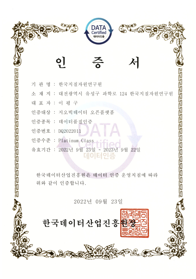
Data Quality Certification (DQC-V)

| Data type | KIGAM 보고서 |
|---|---|
| Title | 광역중력탐사연구 : 안동-II |
| Author | 조진동 |
| Language | KOR |
| Call Number | KR-98-C-04-1998-R |
| Publication Information | 韓國資源硏究所, 1998 |
| Abstract | As a part of editing and publishing a gravity map on southern part of Korean Peninsula as one of the national basic maps, the gravity survey was carried out on 8 sheets (scale of 1:50,000) in 1998 : Socheon sheet, Chunyang sheet, Yeongju sheet, Danyang sheet, Yecheon sheet, Angye sheet, Andong sheet, Euiseong sheet. The instrument for gravity measurement was LaCoste & Romberg gravimeter (model G200L, sensitivity 0.01 mGal) and for positioning of the measurement points a couple of GPS systems (model T4000SSE, Trimble Co.) was used. A Bouguer gravity anomaly map on the survey area was made using the Geosoft software (Geosoft Co.). For the purpose of calculating the Bouguer anomaly, GRS80 (Geodetic Reference System 1980) was used as standard. During the processing and editing of the gravity data(1997-1998), we could derive such conclusions as follows. 1) The characteristics of Bouguer anomalies are mainly due to the difference of rock densities and geological structures distributing in shallow part of the concerned regions. a) We find the (+) Bouguer gravity anomalies on the Surface distributed with diorites and basalts of Cenozoic Era and the (-) Bouguer gravity anomalies on the surface distributed with the intrusive granites of the Jurassic Period. b) The lineaments of the Bouguer gravity anomalies are mainly in SW-NE or SSW-NNE increasing in magnitude. The reason of the increase from in-land area to the coastal area is considered to be from the fact that the thickness of the crust is thinning from the in-land area to the coastal area. 2) The correlation coefficient between the measurement heights and free-air gravity anomalies was calculated to be of 0.331016, considerably low, which urges us to take in consideration also such factors as surface geology, distribution of various rocks in the Earth's interior beside the effects of measurement heights. 3) As the result of the power spectrum analysis of the Bouguer gravity anomaly data, we could identify 3 discontinuities at 3 depths of about 1.6km, 5.8km and 16.1km, the last of which is interpreted to be the depth of Conrad-discontinuity. But, for the amelioration of the interpretation, we should get the data acquird by other geophysical methods and consider them in whole for interpretation |
| Page | 31 p. |
| Keyword | 광역중력탐사, 안동, 광역중력도, 탐사, 중력도 |
| Source |
Comments