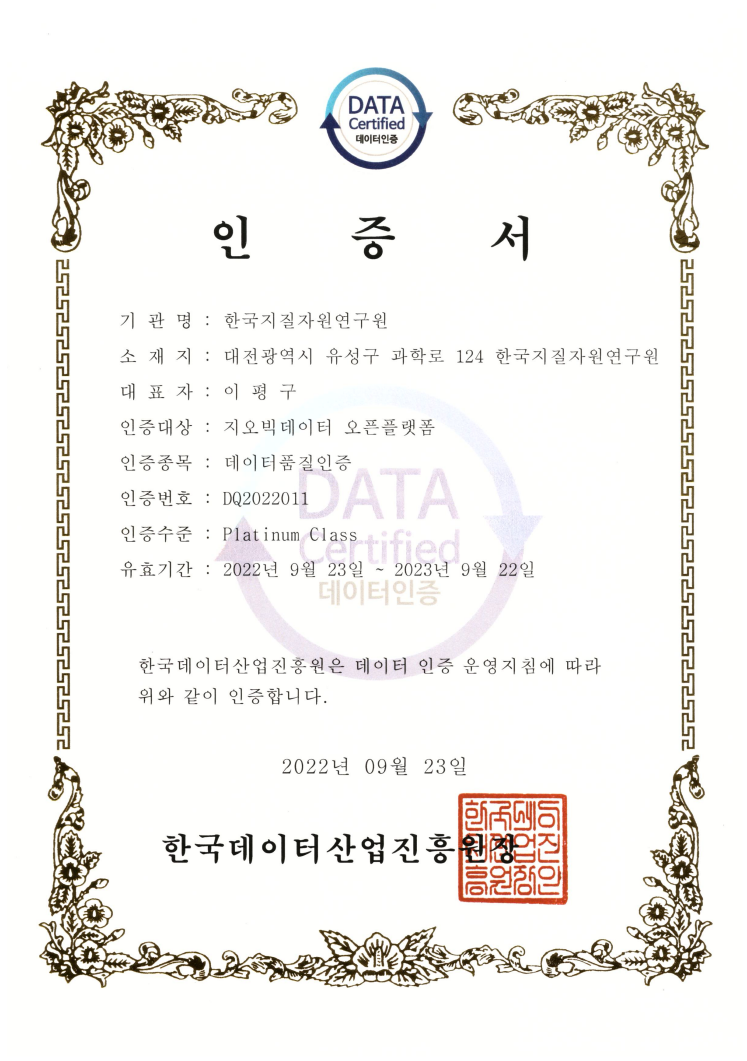
Data Quality Certification (DQC-V)

| Data type | KIGAM 보고서 |
|---|---|
| Title | 항공물리탐사연구 : 단양, 영주, 춘양지역 항공방사능 및 자력탐사연구와 경상분지 자료 종합 |
| Author | 구성본 |
| Language | KOR |
| Call Number | KR-98-C-01-1998-R |
| Publication Information | 韓國資源硏究所, 1998 |
| Abstract | Airborne surveys have covered over about forty-five percent of the whole country, since airborne geophysical exploration project of KIGAM was initiated in 1981. In 1998, airborne radiometric and magnetic surveys were carried out to delineate geological features in the northern part of Cretaceous Gyoungsang sedimentary basin including Danyang, Youngju and Chunyang sheets at a scale of 1:50,000. Airborne system used to acquire data consists of 256-channel gamma ray spectrometer and G-822A cesium magnetometer manufactured by Geometric Ltd, U.S.A. The space of flight lines was 1.5km in east-west direction, and the space of tie-lines was about 8 km. A mean terrain clearance of 120m was kept during flying. The datasets were processed with KADIPS (KIGAM Airborne Data Interactive Processing System) developed by KIGAM, and with Gipsi Geophysical Data Processing and Interpretation softwares purchased for PG&W, Canada. The dataset was projected to ground reference system using transverse mercator projection method with Bessel spheroid and all profile plots were visually inspected using interactive graphic programs. The data was gridded in the size of 120m cell for magnetic data and in the size of 250m cell for radiometric data. The adjacent grids were linked and levelling was applied to overcome discontinuity at the overlapping area. A linked grid was processed for subsequent processing in the wave-number domain. IGRF-removed, Ploe-reduced, horizontal derivative, 2nd vertical derivative, and shaded maps were produced from the processed magnetic data. Radiometric total count, potassium, uranium, thorium and ternary radioelements maps were also produced. As of 1998, a total of 54 sheets of Gyeongsang basin were compiled to make a unit anoamly map. The qualitative interpretation was done by correlating magnetic and radiometric characteristics with geology. According to the magnetic anomaly map, the areas of granodiorite, hornblende granite and a part of andesitic volcanics show strong magnetic responses. It is clear that the areas of acidic granite and gneiss complex are represented three elements. Especially, anorthosite in the area of gneiss complex is characterized by very low magnetic and radiometric responses. The strike-slip faults in the directions of north-west and north-east and the structures of several caldera rings in volcanic area are well recognized on the produced magnetic anomaly map |
| Page | 63 p. |
| Keyword | 항공물리탐사연구, 항공, 물리, 탐사, 단양, 영주, 춘양, 항공방사능, 자력탐사, 경상분지, 경상, 분지 |
| Source |
http://library.kigam.re.kr/report/1998/항공물리탐사연구단양영주춘양지역항공방사능및자력탐사연구와경상분지자료종합.pdf |
Comments